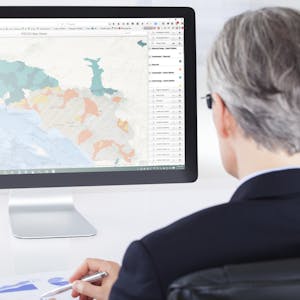
GIS Data Formats, Design and Quality
About this course
In this course, the second in the Geographic Information Systems (GIS) Specialization, you will go in-depth with common data types (such as raster and vector data), structures, quality and storage during four week-long modules: Week 1: Learn about data models and formats, including a full understanding of vector data and raster concepts. You will also learn about the implications of a data’s scale and how to load layers from web services. Week 2: Create a vector data model by using vector attribute tables, writing query strings, defining queries, and adding and calculating fields. You'll also learn how to create new data through the process of digitizing and you'll use the built-in Editor tools in ArcGIS. Week 3: Learn about common data storage mechanisms within GIS, including geodatabases and shapefiles. Learn how to choose between them for your projects and how to optimize them for speed and size. You'll also work with rasters for the first time, using digital elevation models and creating slope and distance analysis products. Week 4: Explore datasets and assess them for quality and uncertainty. You will also learn how to bring your maps and data to the Internet and create web maps quickly with ArcGIS Online. Take GIS Data Formats, Design and Quality as a standalone course or as part of the Geographic Information Systems (GIS) Specialization. You should have equivalent experience to completing the first course in this specialization, Fundamentals of GIS, before taking this course. By completing the second class in the Specialization you will gain the skills needed to succeed in the full program.
89/100
CourseAsk score
- What the provider tells you
- 38/45
- Who stands behind it
- 35/35
- How complete the listing is
- 16/20
Scores how much the provider publishes and who stands behind it — not how well it is taught.
What you'll learn
- Understand vector and raster data models and formats
- Create and manipulate vector data using ArcGIS tools
- Optimize geodatabases and shapefiles for specific projects
- Assess data quality and uncertainty
- Develop and publish web maps using ArcGIS Online
Price shown by Coursera — confirm on their site.
Enroll on CourseraYou'll be redirected to Coursera to complete enrollment.
- Listed & compared by CourseAsk
- English · 0

 Udemy
Udemy

 Coursera





Compared on these lists
Where this course ranks against the alternatives.