Geospatial Science in the Arctic Domain
About this course
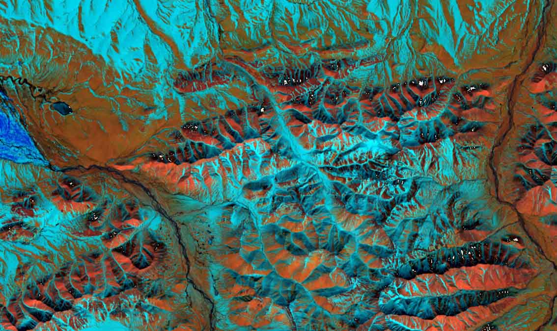
This course focuses on a range of remote sensing and geospatial science applications in the Arctic domain. Based on a brief introduction of fundamental remote sensing principles, this course will discuss general change detection applications, will introduce methods for the monitoring of snow and water; and teach remote sensing methods for wildfire analysis. In the final module, the course will discuss increasing landslide hazards in the Arctic and reveal how shallow and deep-seated landslides can be mapped using optical and radar remote sensing. All these applications are actors of change in the Arctic and impact geospatial intelligence applications such as the assessment of Arctic domain trafficability.
90/100
CourseAsk score
- What the provider tells you
- 39/45
- Who stands behind it
- 35/35
- How complete the listing is
- 16/20
Scores how much the provider publishes and who stands behind it — not how well it is taught.
What you'll learn
- understand fundamental remote sensing principles
- apply remote sensing methods for change detection
- monitor snow and water levels in the Arctic
- analyze wildfire impacts using remote sensing
- map landslide hazards with optical and radar techniques
Course objectives
- provide an overview of remote sensing applications in the Arctic
- introduce monitoring methods for environmental changes
- discuss the implications of geospatial intelligence in Arctic trafficability
Price shown by edX — confirm on their site.
Enroll on edXYou'll be redirected to edX to complete enrollment.
- Listed & compared by CourseAsk
- English · 0

 Coursera

 Udemy
Udemy



 edX
edX


Compared on these lists
Where this course ranks against the alternatives.